Latest artificial intelligence technologies for geoinformatics
Leveraging the latest advancements in AI, our service provides more accurate processing and analysis of geospatial data, enabling the generation of more informative and precise results. It allows for the automation of workflows, reducing the likelihood of errors and enhancing overall efficiency.
Accelerating operator work for creating and updating spatial data
Our service optimizes the process of creating and updating spatial data, speeding up operator work and allowing them to process more data in less time. This helps reduce staffing costs and increase productivity.
Functionality expansion tailored to specific user/project needs
The service can be customized to meet specific user or project needs, providing maximum flexibility and adaptability. This allows users to obtain accurate and relevant data that best meets their requirements.
Integration and interaction with third-party systems (+API)
The service can be integrated with various third-party systems, facilitating communication and data exchange between different platforms. This allows users to utilize our service in conjunction with other tools and services, enhancing their overall efficiency.
Low entry barrier for the operator
The service features an intuitive user interface and does not require special skills for its use. This allows operators to quickly get accustomed to the system and start working with it without spending time on training.
Quick deployment of the solution
The service can be quickly deployed and configured for a specific user or project, allowing for a swift start and immediate results. This helps reduce deployment time and start reaping the benefits of using the service.
No additional or specific data required
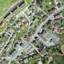
The service can process any type of image (satellite, UAV, ground - color or black and white images) without wasting time and resources on obtaining them.
Prompt support
Our team of specialists is always ready to provide prompt support and assistance to users, allowing for quick resolution of any issues and ensuring stable service operation.


